We are on the cusp, one day distinctly chilly the next balmy sunshine. I’m confused, already having titled posts the ‘End of Summer’ and ‘Autumn Calling’. But Summer is putting up a good fight with Autumn this year. Today was certainly on the side of Summer.
The bike is in the back of the car so why not go up to the Lune Valley, yet again you may say, but I do discover a few more gems.
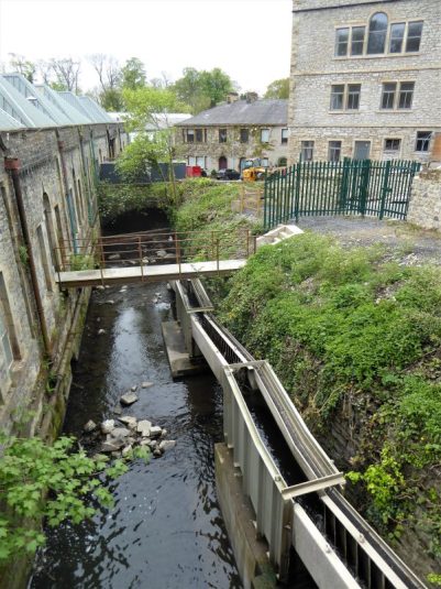
Halton old station. Alas, the tea van is no longer here, probably finished for the season, hopefully she will return next year with that life giving coffee. The slipway is busy with university oarsmen and women out on the river for morning training. The old Station is now the center for the boat crews from the University. 
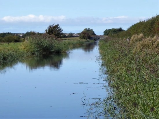
I pedal a short distance to the magnificent Lune Aqueduct carrying the Lancaster Canal over the river. A steep ramp takes me up to it, and immediately I’m in a different environment. Interpretation boards detail the history of the aqueduct. Find it on Google. There is a metal plaque commemorating the building of the aqueduct, designed in collaboration between Central Lancaster High School and the artist, Rachel Midgley which I hadn’t spotted before. All the hustle and bustle below has disappeared, and I’m off along the towpath into quiet Lancashire countryside. A few miles of riding to where I know there is a link to the Coastal Bay Way.


I’ve not done this ride in this direction before despite scores in the opposite way. It all looks different, and it gives me different perspectives of the canal and then of the Bay. I should have looked behind me on previous trips. The views across the bay to the Midland Hotel and pier and the distant Lakeland Hills are always quality.
Bracing is the term for Morecambe promenade today. There are white horses in the bay. But the sun is shining and the wind, though fresh, not a great hindrance to cycling. Hardy souls, mostly elderly and well wrapped, are out with their dogs.
I take a trip down the old stone jetty with its Cormorant motifs, but decide against a coffee there as the café is in the shade. Fortuitously I have come at the right tide as the Tidal Bell is tolling its mournful note. I have not heard this before. See here for more information. 

Past the Midland yet again without visiting! Heading inland I venture into the wonders of the covered Festival Market and amidst the varied stalls, full of cost of living bargains, I find a bakery – time for my favourite – a cheese and onion slice. This one was top class, hence I will give them a plug.
I pedalled back to Lancaster, not in the panic mode of last time when I feared I had lost my phone and money. Over the Millennium Bridge and back to Halton. A lone canoeist is braving his way through the centre of town.
 To lengthen the ride and enjoy the weather I continued to the Crook of Lune where the river does a U turn spanned by the two bridges of the old railway. Here is the lovely view up the Lune towards Hornby Castle and Ingleborough, immortalised by Turner who painted the scene from higher up.

I’m home early in time for a bit of bouldering up at Craig Y Longridge whilst the sun was keeping the rock warm. An invigorating day amongst those of lassitude and hospital appointments.
Lastly here is one more statue installation on the Bay that took my eye, I’ve not noticed before, and I can’t find anything about it.


 I’ve just cycled a 16mile stretch of the Fylde coast, Fleetwood to St. Annes and then back again. As I’m putting my bike back in the car I spot a heavily laden touring cyclist.


 I can only assume that the cooperative cash of Asda has paid for this location. But how on earth has it been approved – nobody can see it. I challenge Wyre Council to come up with a decent reason. How much better if it had been located on the seafront or at Mount Park for all to appreciate. Lunacy.


 It’s two months since I was last able to do a walk out of Mark Sutcliffe’s guide book. Finding one locally I strode out today on his Jeffrey Hill chapter. The suggestion was to park at Little Town Dairy, a farm shop, nursery and café. I feel guilty using a businesses’ car park if I’m not giving them any business so I parked by the road higher up on the route, which was to prove tiresome later in the day.