Wednesday, 9th June. 11 miles.
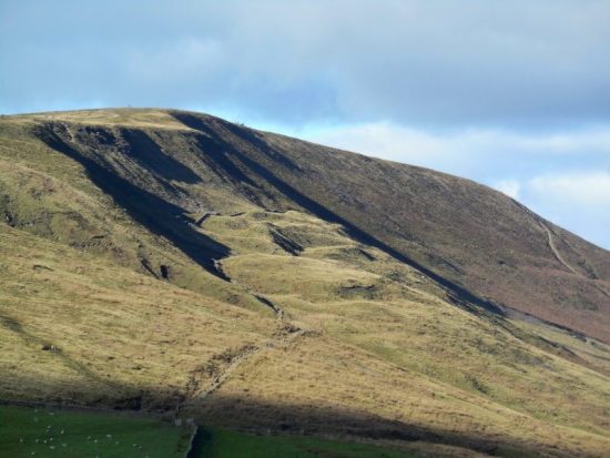
From the terrace of the YHA the hills I would be traversing were all too obvious, it would be a day of ups and downs. The weather just got better and better as the day wore on.
A gentle walk up the lane brought me to Redheugh, a cluster of houses, Isaac Holden was born here in 1804 and baptised at Ninebanks church in 1806. The way followed a ridge across fields and through the remains of Keirsleywell lead mine, where he worked with his father and brother in the 1820s. At the road I walked alongside the low Mohope Beck watching Sand Martins coming and going.

Redheugh.

Keirsleywell Spoil.

Malakoff Bridge.

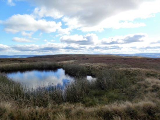
Mohope Beck.

The bridge in Ninebanks crossed the larger West Allen River. Some steep steps came out on the higher road, where I diverted to visit some buildings of interest. First was the old Hearse House, built in 1856 after fundraising by Isaac. It wasn’t long after that Isaac died and was carried on the hearse to be buried in Allendale. The little museum was filled with an eclectic collection of objects relating to mining, funerals and tea. A great deal of information was displayed about the Holden family. Not to be missed if you are walking the trail.


Along the lane is a terrace which was once Ninebanks school and Ninebanks church, St Marks, dating from 1764. A peaceful place for a short break.


From then on I used ancient tracks through rough farmland, there were lambs everywhere. I crossed two old bridges below Dryburn which would have been used by lead carriers with their string of ponies going to the smelt mill in Allendale. Most of these old bridges have been washed away in floods.


A road was crossed alongside High House Wesleyan chapel, now a private residence but the graveyard is still there. I had difficulty finding the path in the next group of fields, but received a friendly reception from a farmer’s wife and dogs when I wandered into their yard. She showed me a way and complained that the RofW hasn’t been maintained. 


After a few more difficult fields I was ready for a sit down and some lunch overlooking the valley. There was a long stretch in Monk Woods high above Whitfield Hall and Church. The Whitfield Estate belongs to the Blackett-Ord family, it was their moorland I tramped across yesterday and it is their woods I’m walking through today. Every hundred yards are pheasant feeders and the estate is very proud of its ‘sporting’ pheasant shooting, which I find abhorrent.


Baby pheasants, what a life.
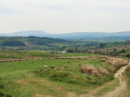
I was glad to be away from the woods and on the final climb to take me to The East Allen valley. I passed limestone quarries and was in the heart of Curlew and Lapwing territory. Lovely open upland walking territory.


Heading down towards the river I passed Keenly Wesleyan Methodist Chapel established in 1750 after John Wesley had preached nearby. It is said to be the oldest chapel in the world in continuous use.
Without checking, I followed a very steep path down to a footbridge and steeply up the other side to find myself lost in field. I could see my mistake on the map and decided to follow the edge of fields until I could join up again without backtracking. This involved some risky crossing of barbed wire and then some very steep descending to reach the RofW by the river. The path alongside the East Allen wasn’t straight forward with irritating diversions.

Going off track.

Definitely lost.

East Allen River.

A large Weir appeared by a road bridge and alongside was the site of Allendale Smelting Mill. There are some ruined buildings, but a lot is now a small business park. From the C17th, the Blackett family owned the mineral rights to the Allen Dales. Ore was extracted by levels driven into the mineral veins with horses pulling carts along the tunnels. In addition to lead, the smelting mill produced silver, it closed in 1896. The trail crossed the bridge for the final mile. Of note was the opening to the Blackett Level which in 1855 was to run for miles in search of new veins of lead ore. It never fulfilled its promise.


Recommended.

The Blackett Level.

Leaving the East Allen River a steep hill brought me into Allendale, a small market town. The central square was busy with many taking advantage of the sunny weather to enjoy a drink outside one of several inns. I was staying at the King’s Head and my room had a bath which I much appreciated after a longish day.
After a rest and a brew, I wandered around the village, which had several Isaac Holden connections. First and foremost was St. Cuthbert’s Church where Isaac is buried with a fitting memorial.


On the edge of the marketplace is Isaac’s Well, 1849. He raised funds for its construction to bring clean water to the town. 

Across the road is the old savings bank, of which Isaac was a founder member. He also raised funds for two of the Methodist chapels in the town. On the edge of town is a row of cottages, Wentworth Place, where the Holden’s grocery store was. A busy man.

Old Savings Bank.

Primitive Methodist Chapel.

Trinity Methodist Chapel.

The PO. in Isaac’s time.

Wentworth Place.
*****