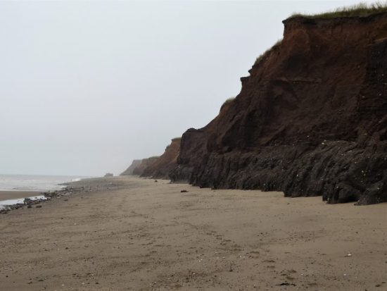
It must be 40 years since I walked ‘The Eden Way’, which as the name suggests follows the River Eden from its source in the fells above Mallerstang, through Kirkby Stephen and Appleby, past Carlisle to the Solway Firth. I remember I only took a bivy bag for lightness and ended up quite damp several mornings.
It’s an area a little out of comfortable reach from Lancashire and I have neglected it over the years. Some recent climbing nearby has brought it back to my attention and it so happens that one of the many books I have read in this month or so of poor weather was ‘The Stream Invites Us To Follow’ by Dick Capel. ( I seem to recollect John Bainbridge recommending it, that is one of the joys of Blogging, your readers, few though they may be, often come up with suggestions which you have overlooked. Thanks John )
Dick Capel came to Cumbria in 1982 working as a warden in the National Park as it was then. He changed areas in 1991 starting work for the East Cumbria Countryside Project, ECCP. This aimed to promote the conservation and enhancement of the natural environment of East Cumbria. During this time he became heavily involved with the Eden Valley and particularly in developing a series of sculpture trails reflecting the area. He writes evocatively of the area and his own trials and tribulations. In particular he highlights The Eden Benchmarks, The Poetry Path and a series of Goldsworthy Pinfolds that appeared under his watch.
*
The Eden Benchmarks.
The Benchmarks are a series of ten contemporary stone sculptures located at intervals along the length of the river Eden between its source above the Mallerstang valley and to the Solway Firth.
“Ten sculptor’s were chosen as part of the East Cumbrian Countryside Project, ECCP. The artists’ brief allowed creative freedom to produce site-specific sculpture, which harmonises with the landscape and captures the essence of each unique locality. The sculptors worked in residence for six weeks and this enabled them to formulate their ideas by familiarising themselves with the locations and talking with local people, including schools, who were encouraged to visit their workshops to see the sculptures taking shape”
“Collectively the sculptures give visual expression to our awareness of the river’s ecology and the need to look after it; individually they foster a profound sense of place, their capacity as seats accommodating an interactive focus for quiet reflection”.
*
The Poetry Path.
Encouraged by the success of Eden Benchmarks Capel’s next arts project was the Poetry Path by the Eden on the edge of Kirkby Stephen interpreting the hill farmer’s life and love for the Eden Valley.
“Twelve short poems, written by Meg Peacocke, have been carved by lettering artist Pip Hall on blocks of stone installed at intervals along a circuital route either side of the river Eden. Decorative motifs with each poem depict some of the activities associated with every month of the hill farmer’s year”
“The aim of the Poetry Path is to introduce a permanent and integrated interpretative experience into the landscape, which is assimilated as part of the heritage it promotes and conveys a powerful message about the farmer’s potential role in maintaining a sensitive but viable hill-farming regime in relation to the natural environment as a resource both for nature conservation as well as food production”.
I could not have written that.
*
Andy Goldsworthy’s Pinfold Cairns.
In the area there are six of these stone cones built into village pinfolds, which used to hold stray animals, Created by the sculptor Andy Goldsworthy (1996 – 2002) supposedly based on the prominent piles of stones called the Nine Standards above Kirkby Stephen. At one time Goldsworthy lived in the area.
*
The funding ran out in 2008 for the ECCP. But the art remains. Sculptures and poems reflecting the area’s heritage and beauty, and hopefully enhancing peoples enjoyment and understanding of the countryside and environment.
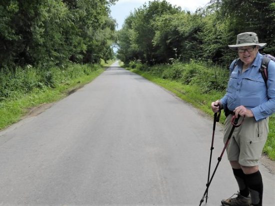
Dick’s book has acted as a catalyst for some exploration on my part. I find myself visiting friends up here so I have decided to stay on, I’ve booked into the Black Bull in Nateby for a few days. 
A related website provides all the information you need on all the installations. I have quoted above from that site.

*
“The stream invites us to follow…and certainly, there is no more fascinating pastime than to keep company with a river from its source to sea” W H Hudson, Afoot in England.
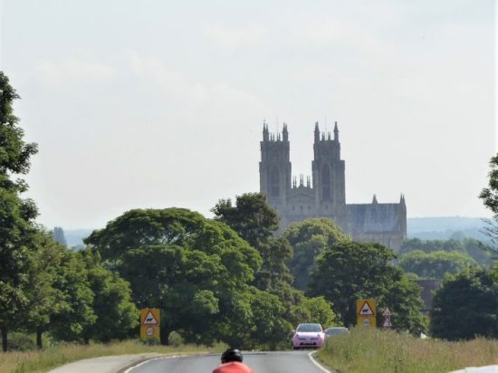
 I couldn’t resist a decent hill day as the weather remained fine. All change next week. ‘Head east old man’ was my mantra as I sped along the M65. Everyone else was going west to Blackpool or the Lakes. Boulsworth Hill my objective. So far so good, but the last chapter of Mark Sutcliffe’s Lancashire Cicerone guide would have had me parking above Wycoller. If there ever was a honeypot then Wycoller deserves that title. A secluded village of agricultural and hand loom workers in the C16th to C18th. Along came power looms in the C19th in nearby Lancashire towns and the population moved out. By 1896 the majority of people had moved away from the village, and it was virtually deserted. But a renaissance occurred in the mid C20th, the area was incorporated into a Country Park and people started moving back into the village renovating the properties. I well remember Longridge acquaintances of mine telling me of their plans for one of the houses in the 70s. I suspect you would have needed a bottomless purse to go ahead. For more information look at


 A good start to the day, although by now it was after noon. The expected crowds were milling around in the hamlet. Crossing and recrossing the series of


 Down on the River Wyre in St. Michael’s a tragic drama is transpiring, a 45-year-old local lady, Nicola Bulley, has gone missing whilst walking her dog by the river. You will have seen it on the national news, the trauma her family are going through as the days pass, without resolution, doesn’t bear thinking about.


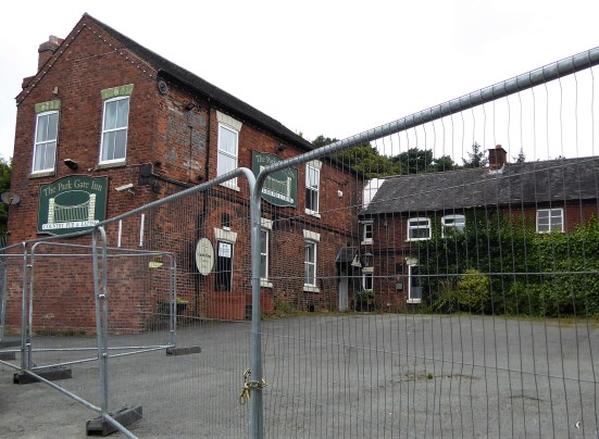
 The streets were still busy. I was disappointed to see also that the Grant Arms in the centre had closed; I stayed there on the Irwell Sculpture Trail; it was pretty grotty at the time I must admit. It is now a financial investment office. You can see why traditional pubs suffer as quite a few small bars were scattered around, offering a good range of beers often home-brewed, cocktails and a bright environment. They were all full of happy people.


 Friday 9th July. 11.5 miles.


 Thursday 8th July. 10.5 miles.