Friday October 30th. 5.5 miles. Longridge.
I’m stood at the entrance to Sainsbury’s giving my hands a good sanitising wash and wiping down the handles of my basket. Probably a half dozen other shoppers pass me going straight into the isles without even the most rudimentary hand sanitisation. The scientists say we have to go into stricter measures to combat the virus. The politicians vacillate. The public obviously can’t be bothered. Go back six months to April and I had stopped coming out to shop, home deliveries were the thing. People stepped aside to let you pass on the pavement. We clapped the NHS on a Thursday. What’s changed? The virus hasn’t, the scientific advice hasn’t – ‘way past the worst scenario’. Unfortunately the politicians have stopped daily updates, too much bad news – 274 deaths today. So the public have stopped listening.
I’m not sure I will be coming out to Sainsbury’s again, could it be classified as a superspreader?
*****
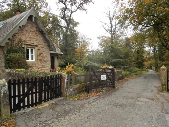
This afternoon as the sun came out I felt emboldened with my new boots to walk some sodden field paths around Longridge. I used these in the height of lockdown for relatively safe exercise as one didn’t meet anyone. Time to resort to them once more as the local virus count escalates. We have been in the third tier restrictions for a while.
Back in Spring, remember that lovely weather when we were all frightened, these paths were well-used by locals getting their daily exercise. Today I feel I’m the only one.
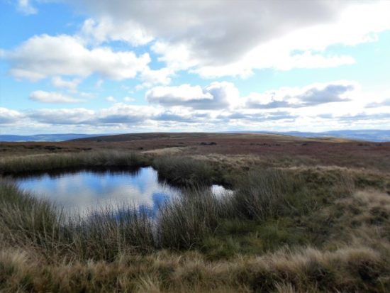
I splodge on through the wet fields. I’m out in the open and free and get my fill of views to all the surrounding hills.

Longridge Fell.

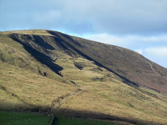
Parlick and Fairsnape Fells.
One of the local pheasant/partridge shoots are relaxing at the inn, Ferraris Country House. Ironically another, The Dog and Partridge, has closed under the stringent economic circumstances. Incidentally today DEFRA and the government have been dragged into some sort of legislation of Game Bird shooting. We do not know the effect of releasing millions of Pheasants and Partridges into local environments. And can you believe we are still allowing the use of lead shot? https://raptorpersecutionscotland.wordpress.com/2020/10/30/licensing-scheme-for-release-of-pheasants-red-legged-partridge-in-england-following-wild-justice-legal-challenge/
I calm down and cross the road into Little Town Dairy who have continued to keep their shop and café open during the present crisis. Notice the clever use of milky flowers on their sign. I meet up with the matriarch of the family business, and we talk about past times. Somehow I end up in her kitchen where all the family decisions are enacted.

By the time I get to Sainsbury’s the sun is setting.
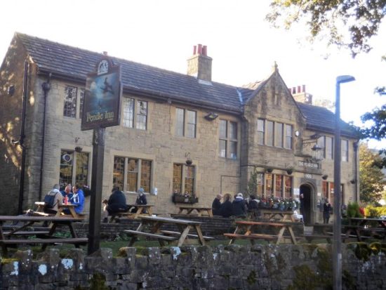
Sorry but I won’t be calling in to my local pub. The country needs an efficient lockdown now. *****
*****